CURRENT CONDITIONS
Updated
-
Today's Outlook
-
Visibility
-
Snow (cm)24h3day7day
-
Conditions
-
Base (cm)BottomTop
-
Lifts open
-
Runs (%)
-
Temperature (°C)CurrentFeels Like
-
Road
-
Wind (km/h)
-
Barometric Pressure
Conditions
Snow Report of the day.
Mar 19 2026 03:57 PM
Our daily snow reports have finished for the 2025/2026 season. We will be back in December.
Reggae Elliss
|
WEATHER GRAPH For 820m - Last updated 5 hours ago |
|
|||||||||||||||||||||||||||||||||||||||||||


SNOW REPORT & LIFT STATUS
八方尾根
岩岳
栂池高原
Hakuba 47
五竜
コルチナ
乗鞍
さのさか
爺ヶ岳
鹿島槍リゾート
気温
リフト
新雪
シーズン
深さ
表面
リフトステータス
気温
リフト
新雪
シーズン
深さ
表面
リフトステータス
気温
リフト
新雪
シーズン
深さ
表面
リフトステータス
気温
リフト
新雪
シーズン
深さ
表面
リフトステータス
気温
リフト
新雪
シーズン
深さ
表面
リフトステータス
気温
リフト
新雪
シーズン
深さ
表面
リフトステータス
気温
リフト
新雪
シーズン
深さ
表面
リフトステータス
気温
リフト
新雪
シーズン
深さ
表面
リフトステータス
気温
リフト
新雪
シーズン
深さ
表面
リフトステータス
気温
リフト
新雪
シーズン
深さ
表面
リフトステータス
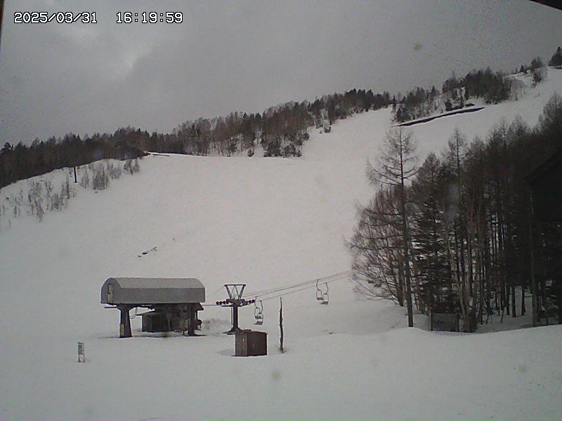
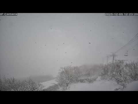
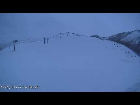
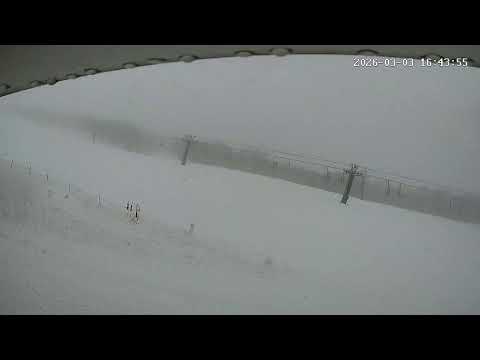
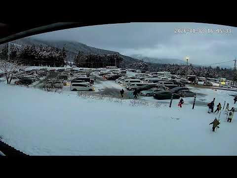
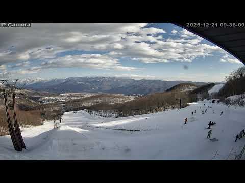
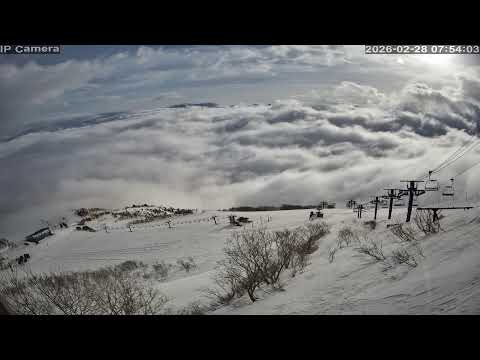
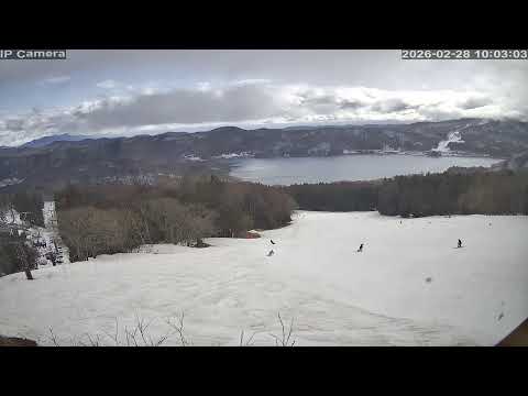
MOUNTAIN CAMS
Happo-One - Usagidaira
Happo-One - Alpen Quad
Happo-One - Gondola Shirakaba
Happo-One - Panorama
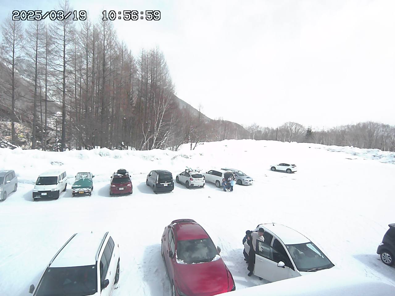
Happo-One - Car Park 3
Hakuba Goryu - 五竜 アルプス平 北側 north
Hakuba Goryu - 五竜 アルプス平 西側 west
Hakuba Goryu - アルプス平 パノラマゲレンデ
Hakuba Goryu - 五竜 第2駐車場
Hakuba 47
Hakuba 47
Hakuba 47
Norikura - Yamaboshi Parking
Norikura - Dream Flat
Norikura - Paradise Course
Norikura - Kamoshika Course

コルチナ


DETAILED FORECAST
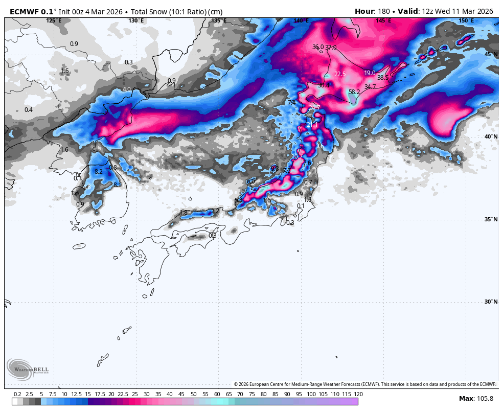
Weekly Japan Forecast – A Better Week Ahead With More Snow & Colder Temps
Written late Wednesday, 4th March (Japan Standard Time)
Well folks, this will be my final forecast for the 2025–2026 Japanese snow season. It’s been a solid month of limited snowfall and unseasonably warm temperatures across Japan, with the past seven days in particular delivering very little fresh snow. After an epic January and early February, the Japow machine has largely switched off, and we’ve seen considerable snow loss as a result.
However, the next seven days look far more promising, with a few decent rounds of powder and cold temps on the way. Thursday, Sunday and Tuesday are shaping up as the standout days, with the bulk of the snowfall expected then. There are still a few weeks left in the season, and spring skiing brings warmer temperatures, longer days and more sunshine. It’s my personal favourite, so get amongst it!
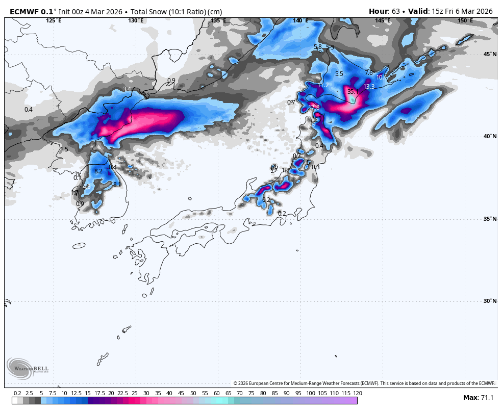
Thursday 5th & Friday 6th March
Thursday will be a powder day of sorts as remaining snowfall across the country gradually dries up. This comes after a storm from the southwest arrived late Tuesday, bringing warm temperatures and rain at first. Temperatures were quick to drop over Northern Honshu and Hokkaido, so there was fresh snow in this Wednesday morning’s reports. However, it was not your usual “lake-effect” Japow; it was denser, maritime snow coming off the Pacific Ocean, akin to what we get in Australia and NZ. As I put pen to paper, snow levels over Central Honshu are also on their way down from the mid-slopes and will get nice and low this Wednesday night.
Friday will stay mostly dry, but there’ll be some isolated flurries lingering on Hokkaido. Temperatures will rocket back up on Honshu as warm southerlies develop ahead of the next storm approaching from the west in the Sea of Japan. Rain from this storm spreads across the country Friday night, falling as snow to fairly low levels on Hokkaido, where temperatures will be much colder.
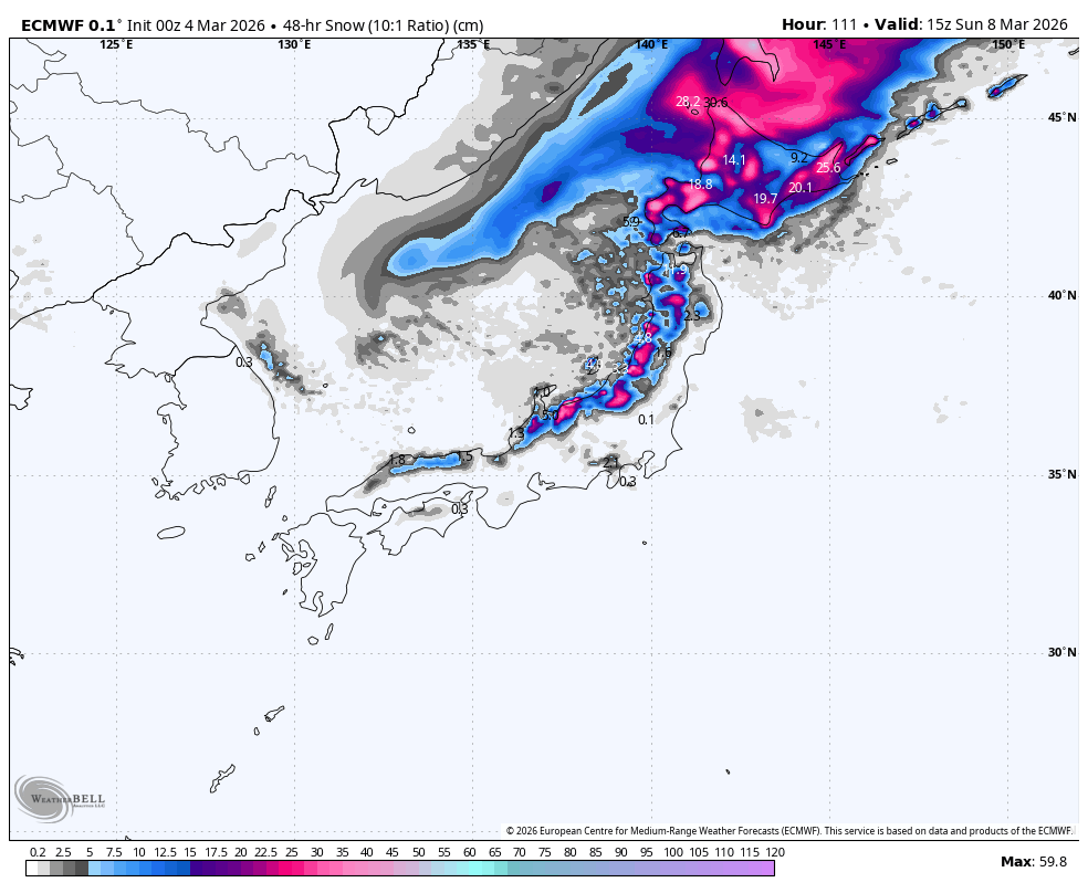
Saturday 7th February & Sunday 8th March
The storm will continue over the country throughout Saturday and Sunday morning, then gradually wind down during the latter half of Sunday. Snow levels about the mid-to-upper slopes of Honshu will gradually lower to base levels by late Saturday, while on Hokkaido, they’ll have to climb over a hill before a period of heavy snowfall to near sea level early Sunday.
Snowfall totals for the weekend are expected to be around 20-50+ cm, with resorts in Niigata and southwest Hokkaido favoured for the deepest totals.
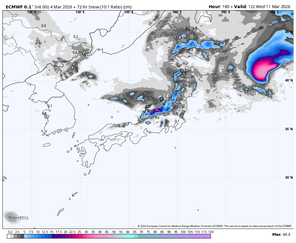
Monday 9th to Wednesday 11th March
Leftover snow showers over northern Honshu will clear up Monday morning, but will persist on Hokkaido.
Central Honshu will stay dry on Monday, but another low-pressure system passing on the Pacific side will pull in a fresh surge of cold air from Monday night, bringing another round of snow for a 10-30+ cm powder day on Tuesday. The passing low will also bring a dusting to northern Honshu and Hokkaido on Tuesday.
A ridge of high pressure will then bring dry, settled weather next Wednesday.
That’s all from me today, and for the season. It’s been a real pleasure bringing you all the snowlights of the 2025-2026 season, which will go down in the history books as having one of the best runs of powder days from Jan through early Feb. See you in June when the Aussie and Kiwi seasons get underway.
Grasshopper
SNOWFALL CHART
更に何かをお探しですか?
人気